
Maps
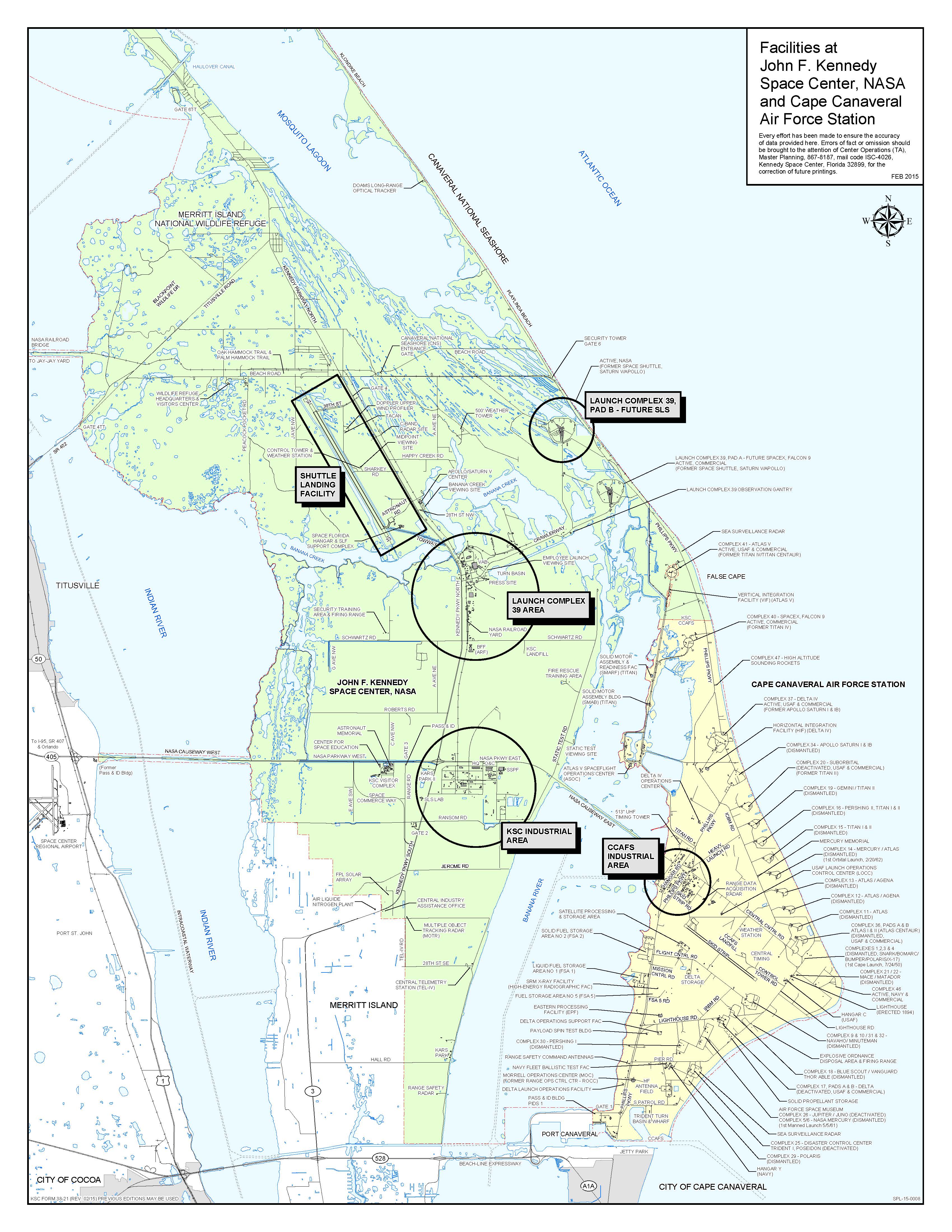
KSC Facilities Map 2021
This map shows general information on KSC’s facilities and transportation system.
The Future Land Use Map (FLUM)
KSC’s future land use map identifies the most appropriate locations for development to occur at KSC based on environmental and operational constraints and adequate access to existing infrastructure. Through this approach, KSC is better able to promote efficient, sustainable development by separating potentially hazardous operations from less-hazardous operational areas and non-NASA operations from NASA operations.
Pre-2012 Shuttle Era Land Use Map
Documentation of shuttle era land uses provides a method to more effectively understand how KSC’s land was utilized during the pre-2012 shuttle era as a government-only installation. Observing, analyzing the compatibility and effectiveness of past land uses led to the development of the future land use plan that has facilitated KSC’s transformation to a multi-user spaceport.
Development Suitability Map
The Development Suitability Map shows the land areas at KSC that are most suitable for development, excluding areas that feature wetlands, species habitat or proximity to hazardous operations. Approximately 15,000 of KSC’s 141,000 total acres can be developed without mitigation or other restrictions.
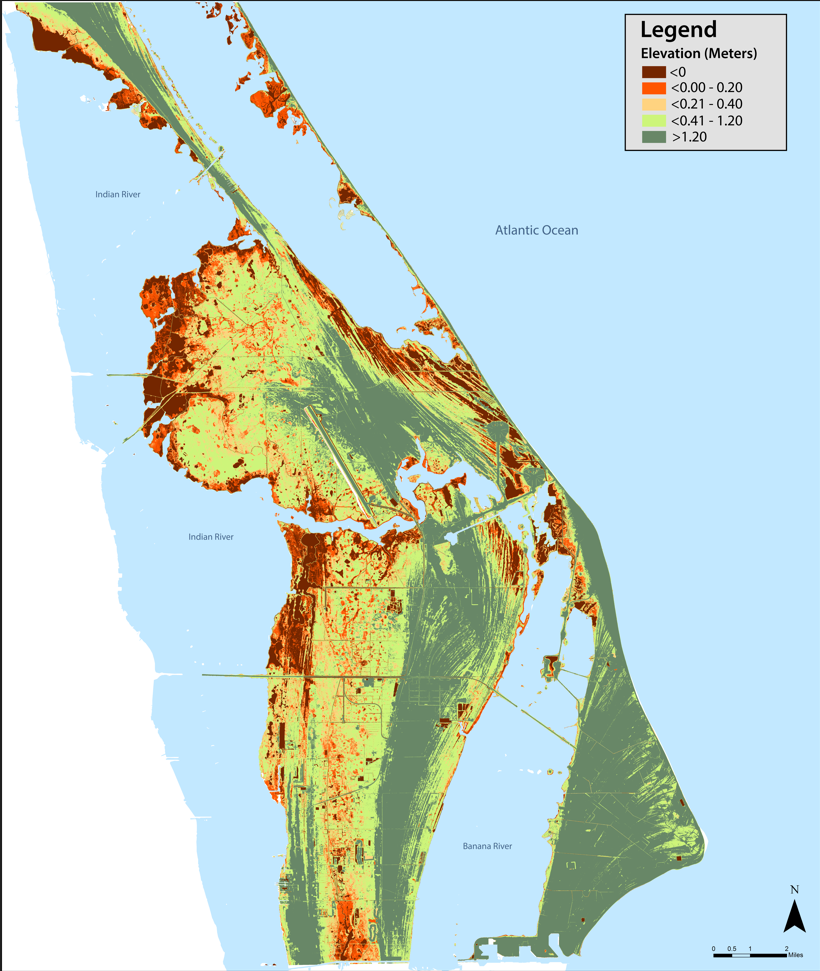
Sea Level Rise Map
Because of its coastal location and low-lying, poorly draining land, KSC is at great risk from future sea level rise. To protect land shown in this map that is particularly vulnerable to rising tides and storm surges, KSC should continue to invest in preventative measures to protect critical NASA and non-NASA launch infrastructure. The central campus development concept provides a strategy for locating future NASA development in the areas least vulnerable to sea level rise.
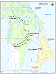
NASA Facilities Map
This map shows the major assets at KSC that will remain dedicated to NASA programs for sole NASA use.
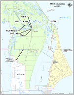
Commercial Assets Map
The Commercial Assets Map displays the facilities that are controlled or managed by commercial or non-NASA entities. Consistent with KSC’s “divest without diminishing” strategy that was initiated immediately after the retirement of the Space Shuttle Program, KSC released a Notice of Availability (NOA) seeking potential industry interest and uses for assets no longer required by NASA. The assets shown in the map represent some of these facilities that have been divested.
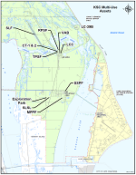
Multi-Use Assets Map
Consistent with KSCs evolution to a multi-user spaceport, the facilities shown in this map represent some major assets that contain both NASA and non-NASA operations occurring in close proximity. By sharing services and resources within facilities, KSC’s partners will have a greater opportunity to take advantage of the center’s unique infrastructure and capabilities. KSC continues to refine its strategy to determine which facilities and property are appropriate for shared operations. NASA safety requirements ensure that NASA operations and partner operations are coordinated and communicated effectively so that both entities are protected from shared workplace
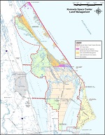
KSC Land Management Map
Of KSC’s 140,000 acres, a relatively small portion is designated for NASA operational use. The rest is either managed or controlled by the US Fish & Wildlife Service on the Merritt Island Wildlife Refuge (MINWR) and the National Park Service at Canaveral National Seashore (CNS). This joint federal partnership protects prime habitat for unique and endangered species while maintaining the longest stretch of undeveloped beach on Florida’s east coast. These two protected areas, along with the Indian River, provide sufficient buffer zones to ensure that nearby populated areas are not affected by KSC launches and hazardous activity.