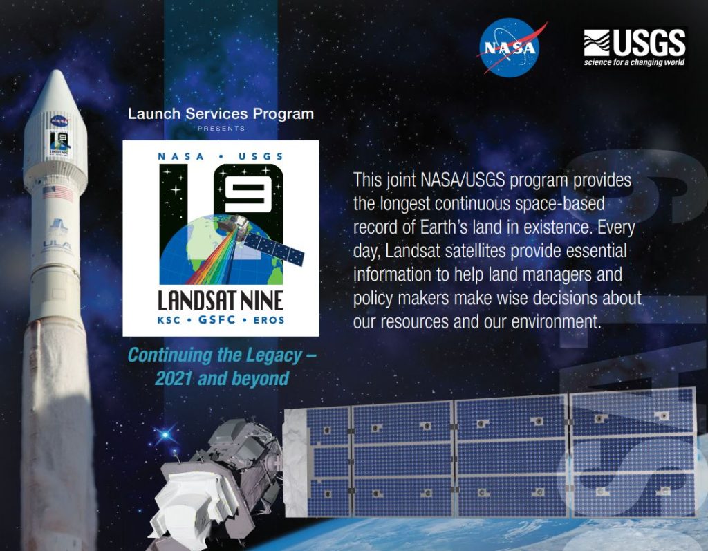
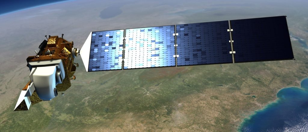
Landsat 9
Landsat 9 will extend our ability to measure changes on the global land surface at a scale where we can separate human and natural causes of change. When land use and resource availability issues arise, Landsat 9 will help decision makers make informed management decisions. Landsat 9 will thus contribute a critical component to the international strategy for monitoring the health and state of the Earth.
Landsat users can now take advantage of more frequent observations (every 8 days using two satellites). Applications such as weekly tropical deforestation alerts, water quality monitoring, and crop condition reports are now feasible with the constellation.
With increased activity in international and commercial remote sensing, Landsat has emerged as a cornerstone of the global constellation of imagers. The science quality of the Landsat archive, including careful calibration, allows it to serve as a “gold standard” for studies harmonizing multiple sources of satellite imagery.
Additional Landsat 9 Resources
Landsat 9 Fact Sheet
Landsat 9 USGS Poster
Landsat 9 Road to Launch
Landsat 9 Mission Guide
Launch Site: Vandenberg Space Force Base, California
Launch Vehicle: ULA Atlas V 401
Landsat 9 Interactive Printouts